







Welcome to the PRINCIPALITY
The paradise of cycle tourism in northern Spain
Cyclist's guide: 10 legendary mountain passes in Asturias
Asturias doesn't have one Tourmalet. It has twenty.
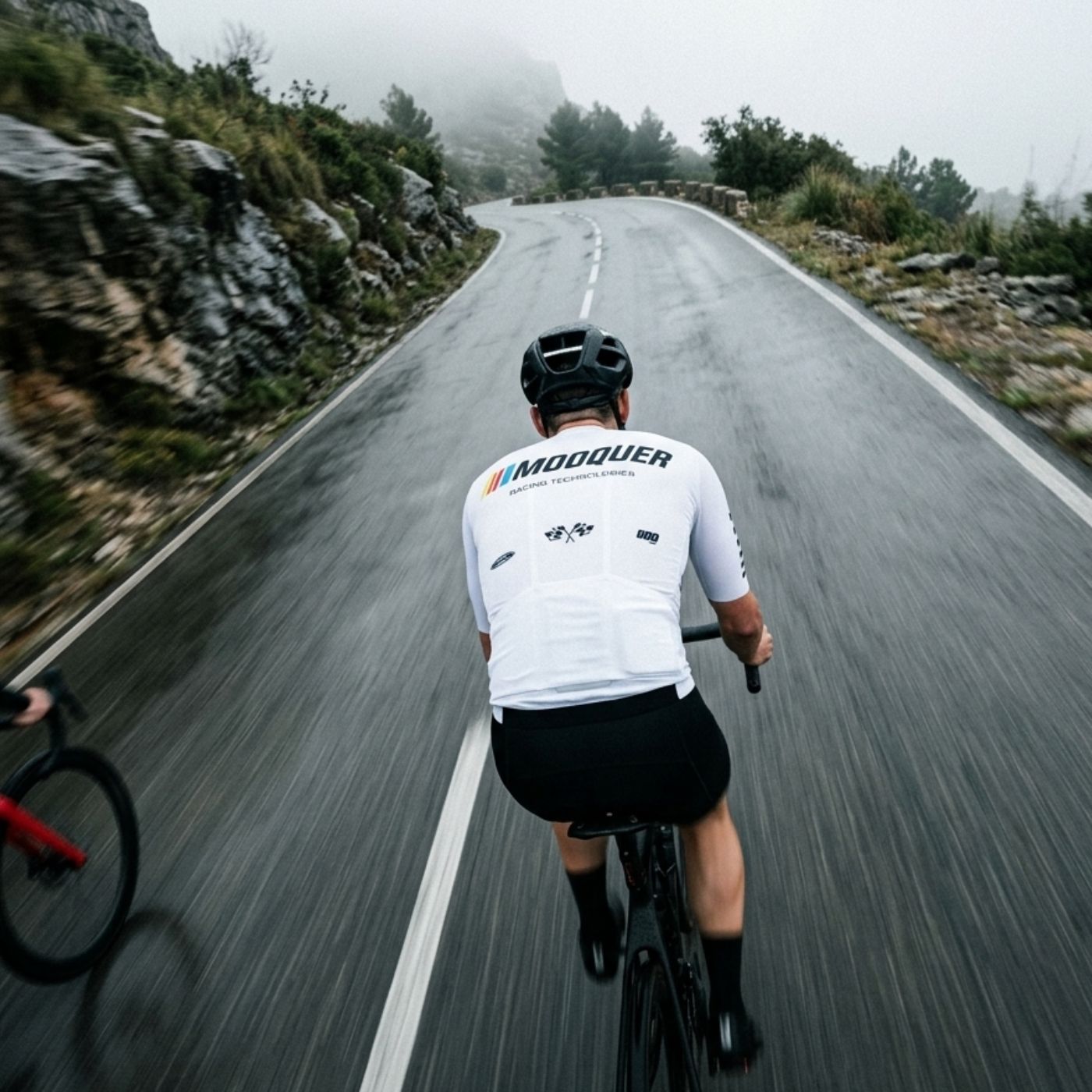
Kilometer for kilometer, it is the toughest region in Europe for road cycling, and almost no one from outside knows it until they arrive. Single-lane roads that cross mountain pastures, beech forests, and high-altitude meadows, with ramps that would be front-page news in France or Italy but here are "just the climb next door."
We have been answering the same question behind the counter for years: I'm coming for a few days with my bike, what should I climb? So, we wrote it all down. Seventeen pages, ten ascents, and five honorable mentions. And we're giving it to you for free.

The ten mountain passes
Angliru, Gamoniteiru, Lagos de Covadonga, La Farrapona, La Cubilla, San Isidro, La Cobertoria, El Acebo, La Mozqueta, and El Naranco. All of them have featured in La Vuelta a España, and we tell the history and the year for each one.
For every ascent, you will find the altimetric profile reconstructed kilometer by kilometer, with ramps over 15% marked so you know exactly where you’ll be thinking of us. Accumulated elevation gain, average and maximum gradients, summit altitude, and a time estimate for three different skill levels—counting only the climb itself and not the approach valley, which is where almost all charts lie.
And the Mooquer Index, a unique difficulty score that combines gradient and length so you can compare them at a glance. El Naranco scores 23. The Angliru, 128. The Gamoniteiru, 142.
Plus five that aren't on the lists
San Lorenzo, Pajares via the old road, El Cordal, Collada Llomena, and the Tarna pass. Less famous and in some cases even more beautiful, with practically zero traffic.

Six routes that link them together
Because a single climb doesn't make for a trip. Six full days starting from Oviedo, Pola de Lena, Pola de Somiedo, Cangas de Onís, Campomanes, and Cabañaquinta, with the distance and elevation gain for each.
The Angliru Triple Crown, 92 kilometers and 2,900 meters of elevation gain starting from Oviedo: El Naranco to warm up, El Cordal, La Cobertoria, and a final flourish on the Angliru. The Giants of Quirós, with La Mozqueta, La Cobertoria, and the full ascent of the Gamoniteiru in a single ride. Deep Somiedo, with the highest paved road in Asturias. And the classic of the east, from the Mirador del Fito to the Lagos de Covadonga with the Picos de Europa in the background.
And the Asturian fine print
The parts that no automated planner can solve for you. Why it can be fifteen degrees colder at the top than in the valley. How to descend narrow, damp roads with uneven surfaces while keeping in mind that a car might be coming up in your lane. Where there is a water fountain but no shop, and why you should head out with enough food for four or five hours. Where to rent a high-end bike and why you need to book in advance during long weekends and during La Vuelta.
At the end, there is a route card for you to check off each summit, note your time, and the date. Once you complete all ten, you will have achieved something very few cyclists in the world can say they have done.

Why we’re giving it away
We are an Oviedo-based cycling apparel brand. We design here, manufacture in Spain, Italy, and Portugal, and have a physical store on Calle Marqués de Pidal.
This guide started as a sheet of paper we gave at the counter to those visiting from out of town. We outgrew it. We are giving it to you in exchange for your email because we like to write to the people who ride around here from time to time, and for no other reason.
If you come to Asturias and want to fine-tune a specific route based on how many days you have and which month you are visiting, write to us and we’ll reply personally. We don’t charge for that either.