







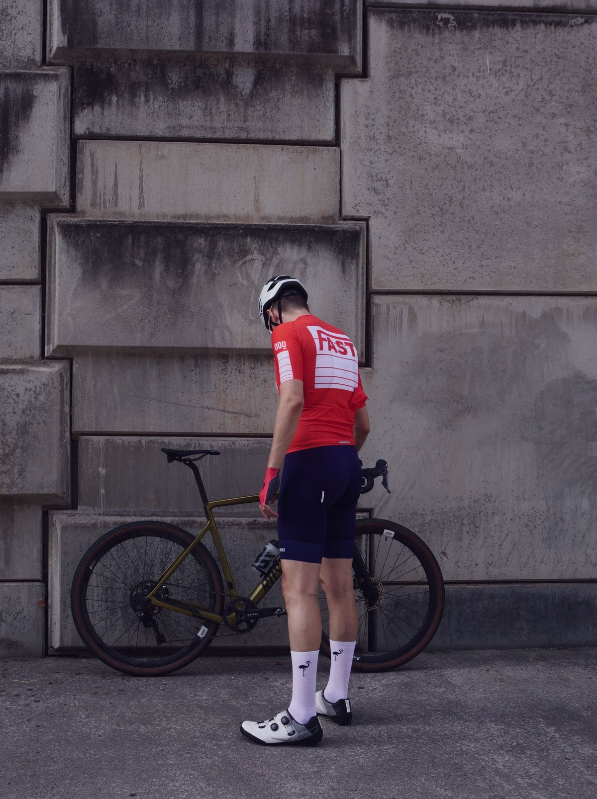
Gamoniteiru: The Hardest Mountain Pass in Spain That Almost No One Knows
Ask a hundred cyclists what the hardest mountain pass in Spain is, and ninety-nine will say the Angliru.
The numbers say otherwise.
The numbers
From La Cobertoria, at the Puente de San Antón, the Gamoniteiru is 15.1 kilometers with 1,490 meters of elevation gain, an average gradient of 9.7%, and a maximum of 17%. The summit is at 1,772 meters, two hundred more than the Angliru.
On our internal difficulty scale, which combines gradient and length, the Gamoniteiru scores 142 and the Angliru 128.
The Angliru has the most brutal ramp, Cueña les Cabres at 23.5%, which earns it the headlines. But the Gamoniteiru is two and a half kilometers longer and climbs two hundred and twenty-four meters more. You suffer less at once, but for much longer.

The profile, kilometer by kilometer
| Km | 1 | 2 | 3 | 4 | 5 | 6 | 7 | 8 | 9 | 10 | 11 | 12 | 13 | 14 | 15 |
|---|---|---|---|---|---|---|---|---|---|---|---|---|---|---|---|
| % | 6 | 8 | 9 | 7 | 6 | 9 | 10 | 12 | 13 | 15 | 11 | 14 | 13 | 16 | 13 |
Look at what is missing here: breaks.
The Angliru gives you six easy kilometers at the start and two softer kilometers at the end. The Gamoniteiru starts at six percent and never drops below that again. And from kilometer eight, the last seven are almost all in double digits: 12, 13, 15, 11, 14, 13, 16, 13.
Seven kilometers in a row averaging above eleven percent, with a sixteen percent grade at kilometer fourteen, when you have been climbing for over an hour and a half and are above 1,600 meters.
There is nowhere to recover. That is the whole story of the Gamoniteiru.
How long it will take you
| Cycle tourist | 2h23 |
| Fit amateur | 1h49 |
| Competition pace | 1h13 |
| Professional | ~48 min |
Compare with the Angliru: a fit amateur takes 1h35 there and 1h49 here. Fourteen minutes more on the climb, and fourteen minutes at that gradient is felt in your legs the next day.
The route up
It shares its start with La Cobertoria, and halfway up the ascent, it turns off onto a narrow service road that climbs up to the antennas at the summit.
That road is the key to the pass and what makes it so unique. It doesn't lead to any town, it doesn't lead to any station, it doesn't lead to anything: it leads to some antennas. So, there is no traffic. You can practically count the cars you will come across, and on a weekday, it might be zero.
The counterpoint: the asphalt on the upper section is uneven. Going up, it doesn't matter. Going down fifteen kilometers with 14% gradients on a narrow, rough road, it does matter. A lot.
The Vuelta climb
The Gamoniteiru debuted in La Vuelta a España in 2021, on the queen stage, with a victory by Miguel Ángel López. That is to say: it has been on the calendar for four years, compared to twenty-seven for the Angliru.
That is the reason why almost no one outside of Asturias knows it. It’s not that it is less of a climb. It is that it has been on television for less time.

What isn't in the data
There is a reliable water fountain in Aciera, at the six-kilometer mark. Note that, because it is the last one. At the top, there is absolutely nothing: no fountain, no bar, no shade.
The gearing. The same as for the Angliru: 34x36 at a minimum, and if you can run a 32 or 30 cog, even better. There is no 23% ramp here to force your hand, but there are seven kilometers at thirteen percent that will drain you just as slowly.
The altitude. 1,772 meters is not the Alps, but it is thirty kilometers from the sea. The weather at the top may be nothing like the weather in the valley, and it can change in twenty minutes.
The combo. Link it with La Mozqueta if you want a full day. The version for the brave is the Colosos de Quirós: La Mozqueta, descent to Quirós, La Cobertoria, and the full ascent of the Gamoniteiru. Seventy-eight kilometers, 2,600 meters of elevation gain, and two of the three hardest climbs in Spain in a single ride.
Angliru or Gamoniteiru?
If you are only going to climb one and you want to be able to talk about it, the Angliru. The legend is the legend, and you have to see Cueña les Cabres once.
If what you want is the climb, this one.
And if you have two days, ride them both and then tell us which one you thought was worse. We haven't been able to agree for years.
The other nine. The Gamoniteiru is the second of the ten mythical climbs of Asturias that we have collected in a seventeen-page guide: kilometer-by-kilometer profiles, times by level, six routes linking them together, and what you need to know about each road. It’s free.
Download the Asturias mountain pass guide
Frequently asked questions
Is the Gamoniteiru harder than the Angliru?
In terms of length and elevation gain, yes: 15.1 km at 9.7% with 1,490 meters of gain, compared to 12.5 km at 10.1% and 1,266 meters for the Angliru. The Angliru has the harder ramp, the 23.5% of Cueña les Cabres. On our difficulty scale, the Gamoniteiru scores 142 and the Angliru 128.
How long is the Gamoniteiru?
15.1 kilometers from La Cobertoria, with 1,490 meters of elevation gain, an average gradient of 9.7%, and a maximum of 17%. The summit is at 1,772 meters, the highest of the great Asturian climbs.
Where is there water while climbing the Gamoniteiru?
There is a reliable fountain in Aciera, at the 6-kilometer mark. It is the last one: at the summit, there is neither a fountain nor services of any kind.
When was the Gamoniteiru climbed in La Vuelta?
It debuted in 2021, on the queen stage, with a victory by Miguel Ángel López. It is a recent addition to the calendar, which is why it is much less well-known than the Angliru despite being more demanding.
How is the asphalt?
Uneven on the upper section, because it is a service road that climbs to the antennas. Going up, it is not a problem; going down, with 14% gradients and a narrow road, it is best to have plenty of margin.












Leave a comment
This site is protected by hCaptcha and the hCaptcha Privacy Policy and Terms of Service apply.